Every once in a while I encounter really interesting stuff when looking at digital elevation models and imagery in a GIS. Today is one of those days. In the image below (40.8154 N 119.3856 W decimal degrees) the stream in the upper part of the image is flowing in two directions. On the USGS topographic map it is named Rock Creek and flows to the south, but in the aerial photography it is quite evident that it also flows to the north at least some of the time.
In the image below I've zoomed in and see that a small jeep track may
have caused an entire stream to shift from one basin into another (at
least part of the time).
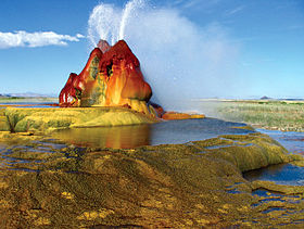
Interestingly,
all of this is uphill and to the west of the cool and funky attraction
known as Fly Geyser adjacent to the Black Rock Desert.